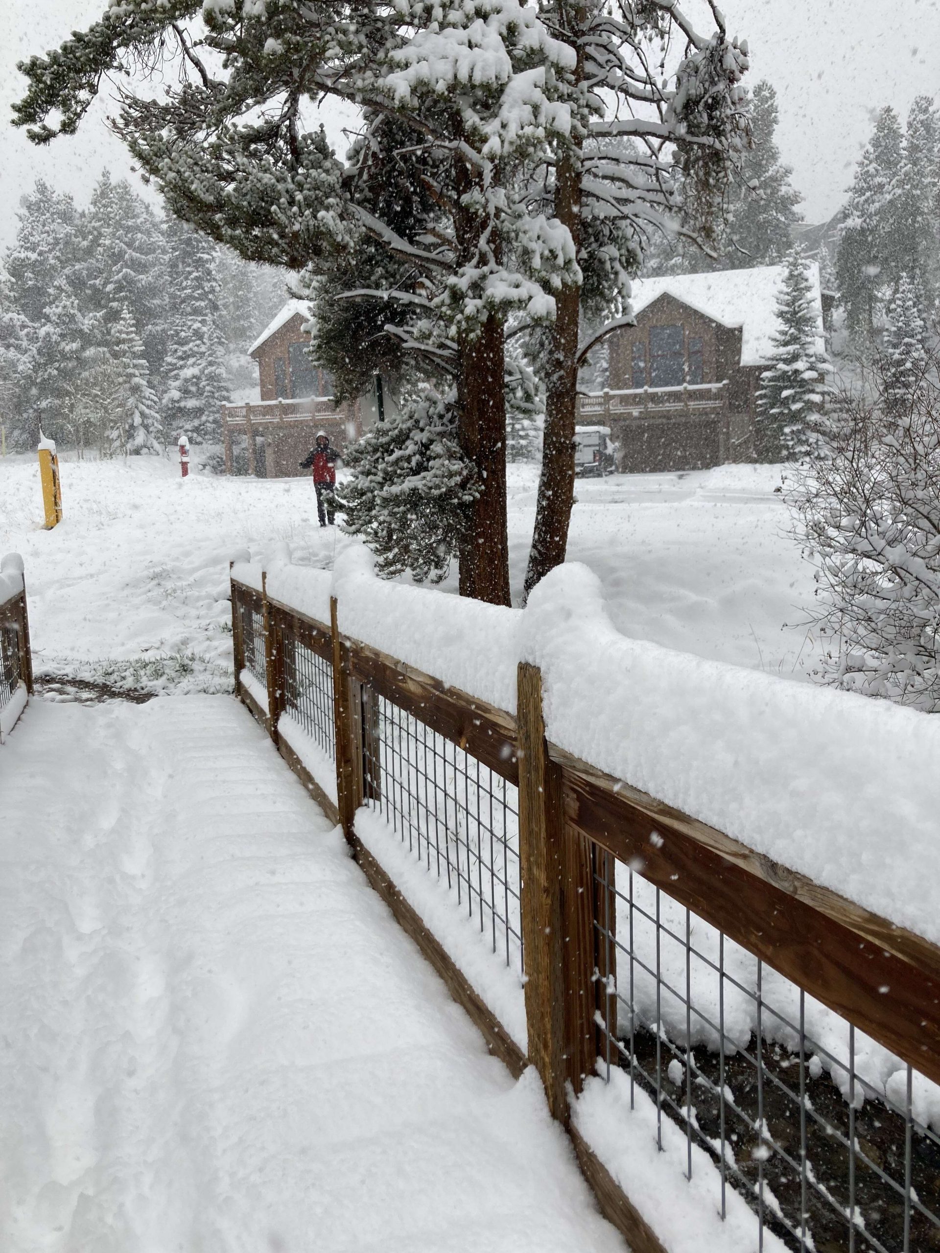
Weekend snow brings moisture boost to Summit County

Across the state of Colorado, spring snowstorms brought precipitation to much of the state, adding moisture to melting snow stock.
Data from the Natural Resources Conservation Service shows a small bump in snow water equivalent starting on May 20. Before that, snow water equivalent for the Blue River had been declining rapidly since May 6.
The 30-year median peak for snow water is April 22 at 16.6 inches, but in 2022, the Blue River saw its snow water peak at 15.6 inches on April 18. Still, this year shows improvement over snow water equivalent data in 2021, which had a peak of 13.5 inches on April 2. On May 20, six sites recorded 5.5 inches for the Blue River, and by May 22, that total had been brought up to 6.6 inches.
As of 11:14 a.m. on Sunday, the National Weather Service recorded 9.2 inches of snowfall in Frisco, 9.6 inches at the Summit Ranch site in Silverthorne, 18.6 inches in Breckenridge and over 14 inches at the Loveland Basin site. According to OpenSnow, Arapahoe Ski Area recorded 16 inches on May 21.

“Heading into the memorial weekend holiday period, we should see a trend toward above-average warmth across the Southwest as well as the Central and Southern Rockies with limited rain chances, while the Northwest is projected to stay in a cooler pattern with near to below-average temperatures along with wetter conditions,” OpenSnow meteorologist Alan Smith said in his forecast for this week.
As for avalanche risk, the central mountains have a “moderate” risk, which is a two on a five-point scale. The Colorado Avalanche Information Center encourages back country skiers and hikers to avoid cornices since they are still a threat despite the cooler temperatures. Many that haven’t failed yet naturally are pulling away from ridge lines and sagging. Recreationalists can reduce risk from dangerous blocks of snow by steering clear of slopes below large overhanging cornices and traveling well back from the obvious edge along ridge lines.
“As the day warms, look for obvious signs of wet snow. Start and finish your day early, especially if you are sinking into wet-gloppy snow,” the information center’s update on snowpack and avalanche reads. “Cloud cover is expected tomorrow, but if the powerful late May sun breaks through the clouds, surface conditions could deteriorate. Plan for this possibility by ensuring you have a safe egress later in the day at lower elevations.”
For this week’s forecast, the National Weather Service in Boulder is estimating a 40% chance of snow on Monday with possible thunder. The high will be around 50 degrees.
On Tuesday, snow is “likely, mainly after noon.” It will be mostly cloudy with a high near 47 degrees. Wind will come from the south and be 8-14 miles per hour, becoming northwest in the afternoon. Winds could gust as high as 23 miles per hour. Chance of precipitation is 70%.
The rest of the week is expected to be sunny and breezy.


Support Local Journalism
Support Local Journalism
As a Summit Daily News reader, you make our work possible.
Summit Daily is embarking on a multiyear project to digitize its archives going back to 1989 and make them available to the public in partnership with the Colorado Historic Newspapers Collection. The full project is expected to cost about $165,000. All donations made in 2023 will go directly toward this project.
Every contribution, no matter the size, will make a difference.