Weekend snowstorm to be measured in feet, causing traffic snarls and avalanche warnings

Liz Copan / ecopan@summitdaily.com
FRISCO — Is this the storm we’ve all been waiting for?
Snow was falling across Summit County on Thursday morning, and it’s not expected to stop until Sunday, when 18-30 inches are expected to have accumulated on area slopes.
Summit County is under a winter storm warning through 5 p.m. Friday, and the heaviest snow is expected overnight Thursday with 10-18 inches falling in the mountains by Friday afternoon, according to National Weather Service meteorologist Bernie Meier.
Down in the towns of Summit County, 4-8 inches is expected in the same timeframe, he said.
Once the heaviest bands of snow move out of the area Friday, Summit County will be under a winter storm watch through 5 a.m. Sunday.
“We may see a lull in the snow,” Meier said, “but overall, snow should continue pretty much all the way through to Sunday.”
An additional 8-12 inches of snow is expect in the mountains from Friday night through Sunday with 4-8 inches forecast in town, Meier said.
OpenSnow meteorologist Sam Collentine is calling for slightly lower accumulations of 6-12 inches through Friday afternoon at ski areas along the Interstate 70 corridor. The storm is expected to have periods of intense snowfall, with flakes piling up at a rate of 1-3 inches per hour, according to Collentine’s daily forecast blog for the area.
He is calling for an additional 5-10 inches from Friday night through Saturday. Friday and Saturday are expected to be the best days on the slopes, he wrote.
-
Snow falls on rustic log patio furniture Thursday, Dec. 12, along Main Street in Frisco.
Liz Copan / ecopan@summitdaily.com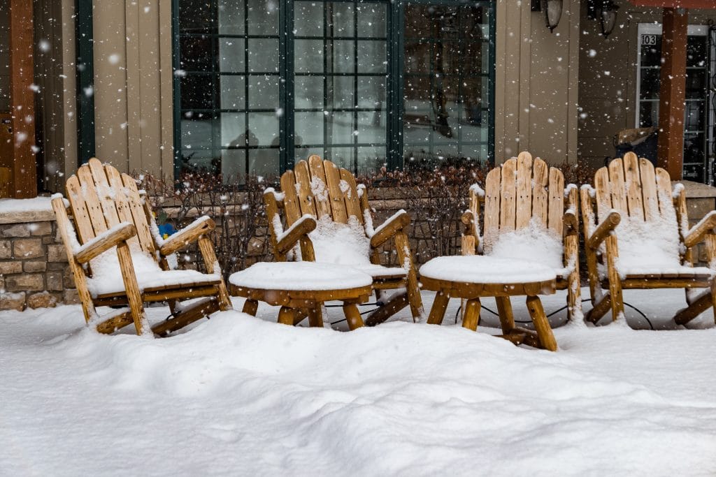
-
The Frisco Historic Park & Museum on Thursday, Dec. 12, in downtown Frisco.
Liz Copan / Summit Daily News archive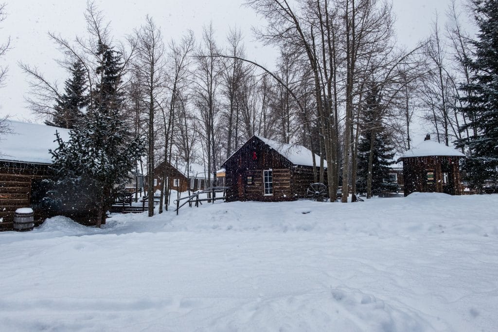
-
Drivers navigate snowy and icy roads Thursday, Dec. 12, along Main Street in Frisco.
Liz Copan / ecopan@summitdaily.com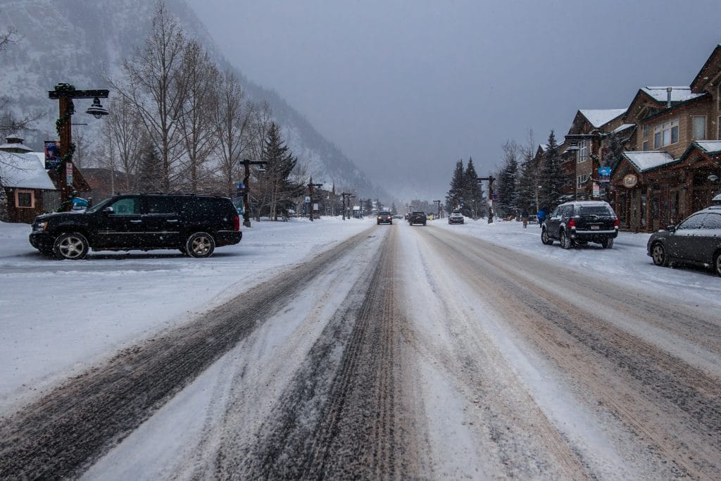
-
-
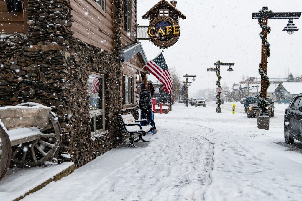
Snow falls Thursday, Dec. 12, on Main Street in Frisco.
Liz Copan / ecopan@summitdaily.com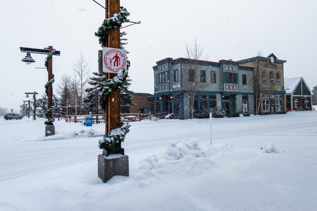
Wind, snowfall to make travel difficult
The storms will come with some wind, and 40-45 mpg gusts are forecast, Meier said. The wind is expected to make driving difficult, with blowing snow reducing visibility and causing snow drifts across roads.
Keep up with the conditions:
• Forecast and recent weather stories: summitdaily.com/news/weather.
• Storm warnings and advisories: wrh.noaa.gov
• Summit County ski area forecasts: opensnow.com/region/summitcounty
• Road conditions, closures and traffic cameras: cotrip.org.
• Travel information by phone: 511 (in Colorado) or 303-639-1111.
• Sign up for CDOT alerts: codot.gov/topcontent/travel-alerts-system/for-general-public.
• Avalanche danger and conditions: avalanche.state.co.us.
• Flight information: flightview.com/traveltools.
The wind and fresh snow also will increase avalanche danger in the area.
The Colorado Avalanche Information Center has issued a special avalanche advisory for the Vail and Summit County territory, along with other areas around the Western Slope and Front Range.
The avalanche danger is increasing across the state with the return of heavy snowfall, and the danger is expected to continue to increase through Friday and into the weekend, with the storm forecast to drop 1-2 feet of snow along with 1-2 inches of water onto the weak snowpack, according to the forecasting site.
Natural avalanche activity is expected to increase, and the avalanche danger level could be bumped to high by the end of the weekend, according to the Avalanche Information Center. Officials are warning everyone to pay close attention to the rapidly changing conditions and avoid traveling through or below avalanche terrain in the backcountry.
Find the latest avalanche conditions and forecasts at avalanche.state.co.us.
Sawyer D’Argonne contributed to this report.


Support Local Journalism
Support Local Journalism
As a Summit Daily News reader, you make our work possible.
Summit Daily is embarking on a multiyear project to digitize its archives going back to 1989 and make them available to the public in partnership with the Colorado Historic Newspapers Collection. The full project is expected to cost about $165,000. All donations made in 2023 will go directly toward this project.
Every contribution, no matter the size, will make a difference.