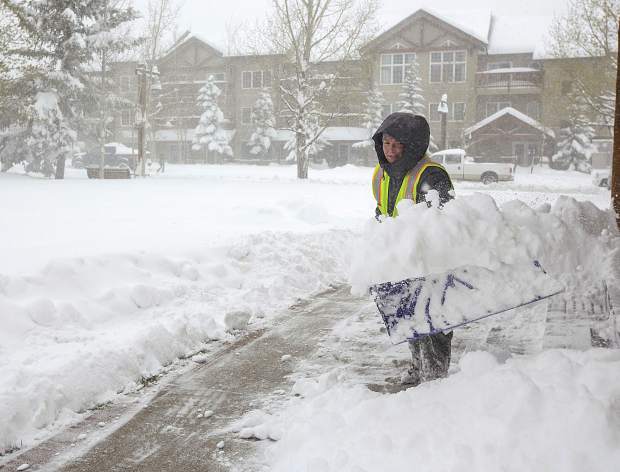
Winter storms could bring 4 to 12 inches of snow to Summit County through Christmas Day
File photo
Snow began falling Thursday morning, Dec. 21, and will continue intermittently through midday Monday, Dec. 25, with another storm potentially on its heels, according to weather forecasters.
Meteorologist Joel Gratz, with opensnow.com, writes that the first storm will bring snow to the entire state of Colorado on Thursday, with a second storm delivering another round of “potentially significant” snow to the northern mountains, which includes Summit County, on Saturday and Sunday night.
There’s a chance for light snow in the area on Christmas Day, with another storm potentially in the outlook around Thursday, Dec. 28, Gratz wrote Thursday.
“Friday will be dry, then the second storm will arrive on Friday night and bring snow to the northern mountains through Saturday night,” Gratz wrote. “I am getting excited about this system, as I think that many areas in the northern mountains will see 4 to 8-plus inches by Sunday morning. One of the reasons I am excited is that the jet stream will be over northern Colorado on Saturday evening.”
The National Weather Service has issued a winter storm warning in effect late Friday through Saturday evening.
According to the advisory issued for Summit County, snow and blowing snow are expected. Plan on slippery road conditions. In addition, areas of poor visibility are expected. Total snow accumulations of 4 to 8 inches, with localized amounts up to 12 inches, are expected.


Support Local Journalism
Support Local Journalism
As a Summit Daily News reader, you make our work possible.
Summit Daily is embarking on a multiyear project to digitize its archives going back to 1989 and make them available to the public in partnership with the Colorado Historic Newspapers Collection. The full project is expected to cost about $165,000. All donations made in 2023 will go directly toward this project.
Every contribution, no matter the size, will make a difference.