Winter storm to bring feet of snow at high elevations in Colorado mountains, ski resorts, meteorologists say

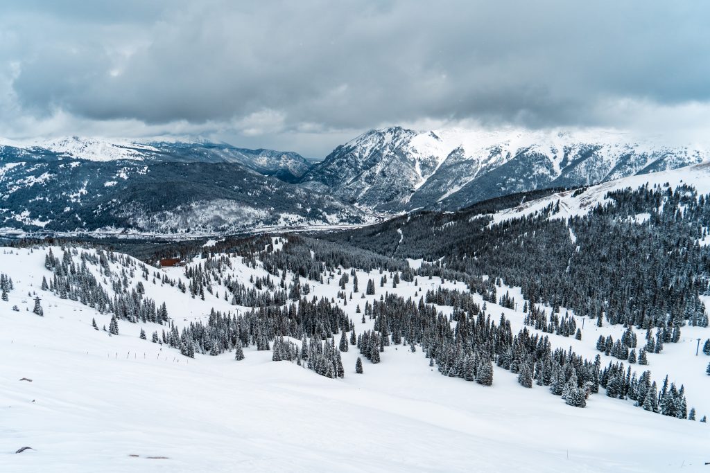
Curtis DeVore/Copper Mountain Resort
With up to 6 inches of fresh snow at most open ski resorts in Colorado as of Friday morning, another storm is expected to bury parts of the state by Sunday, April 28.
While most towns and ski areas won’t see nearly as much snow accumulate, elevations above 10,000 feet could see between 1-3 feet pile up by Sunday afternoon, according to a winter storm watch issued by the National Weather Service Friday evening.
The watch is in effect for Rocky Mountain National Park, the Medicine Bow Range, the mountains of Summit County, the Mosquito Range and the Indian Peaks. Most mountainous areas of the state are also under weather alerts, with snow totals up to 18 inches.
OpenSnow founding meteorologist Joel Gratz said there will be a lull in the storm Friday night before things intensify Saturday. Intense snow is expected to begin Saturday morning at dawn and last through the afternoon, with 12-20 inches possible.

Gratz said his confidence is high since winds will be coming from the east all the way up to 30,000 feet, which is “the main ingredient for intense snow” in the area near and east of the Continental Divide.
“For snow conditions, there should be free refills on Saturday for mountains near the divide, like (Arapahoe Basin Ski Area), (Loveland Ski Area), and (Winter Park Resort), and mountains farther west of the divide, like (Breckenridge Ski Resort), (Copper Mountain Resort), and (Vail Mountain) should also see significant snow but with intensities that could be lower than near then dividem,” Gratz said.
The intensity of the snowfall is expected to make travel treacherous, especially over mountain passes.
Snowfall could continue into Sunday morning as the storm moves east of the Rocky Mountains.


Support Local Journalism
Support Local Journalism
As a Summit Daily News reader, you make our work possible.
Summit Daily is embarking on a multiyear project to digitize its archives going back to 1989 and make them available to the public in partnership with the Colorado Historic Newspapers Collection. The full project is expected to cost about $165,000. All donations made in 2023 will go directly toward this project.
Every contribution, no matter the size, will make a difference.