Dry, smoky Independence Day weekend ahead for Colorado’s western mountains, with chances for isolated thunderstorms

Ali Longwell/Summit Daily News
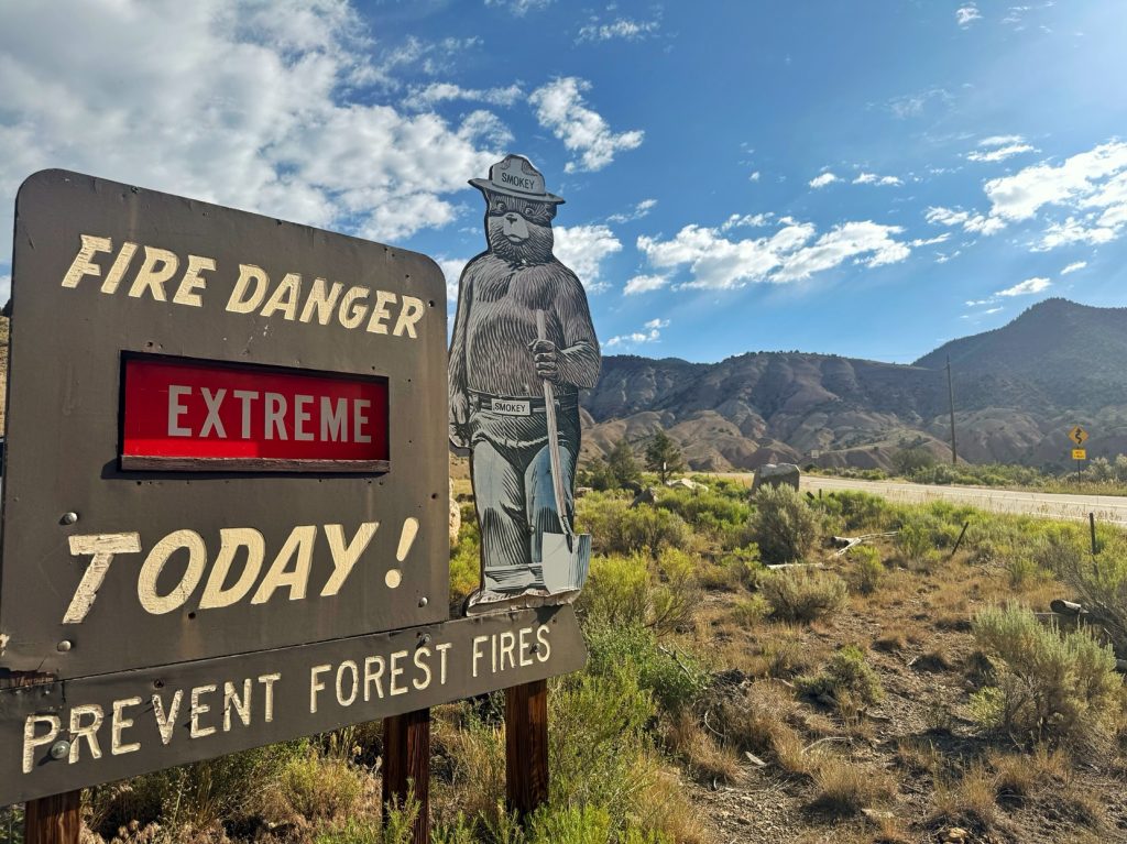
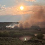
Fourth of July in Colorado’s Western Slope is expected to remain mostly dry, hot and smoky, with a high risk of wildfires persisting through the next few days.
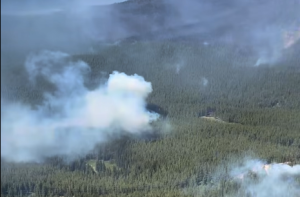
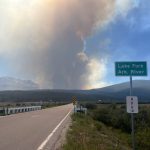
The National Weather Service issued an air quality alert for northwestern and north-central counties, forecasting that areas downwind of large fires in southwestern Colorado and southeastern Utah could have periods of moderate to heavy smoke through at least Friday morning.
“I have a sneaking suspicion it’s going to continue to linger (past Friday),” National Weather Service Meteorologist Kris Sanders said. “(The forecast model) is showing the smoke from these fires in southwest Colorado going up into central ColoradoI, so can’t say we’re going to be smokeless.”
A subtle wind shift to the west and southwest is expected to keep the heaviest smoke confined to central portions of Colorado, according to a July 2 OpenSnow report by Meteorologist Alan Smith. This means lighter smoke across the northwestern mountains compared to prior days.
Friday evening could bring chances of isolated thunderstorm to northern areas close to the Wyoming border — roughly from Steamboat Springs to Fort Collins, Smith said. Any storms will produce light rain and gusty winds.
Thunderstorms will also be possible across the high country on Saturday, with minimal chances expected west of the Continental Divide. While forecasts for central mountain valleys including Glenwood Springs and Aspen show mostly dry, sunny weather with some clouds, towns surrounding Frisco and Breckenridge show chances of light rain and thunderstorms on Saturday and Sunday.
Those storms likely won’t be enough to budge the mountain’s high wildfire risk, though, Sanders said.
“We’re going to stay at high risk,” he said. “We’re hitting the low relative humidity during the afternoon when these thunderstorms are possible, and then they’ll be isolated in nature. … It’s not enough moisture to help things as far as the fire danger. It could end up fueling the flames of some of these fires.”
Temperature-wise, most mountain towns are forecast to sit in the 70s and 80s, with Glenwood Springs potentially reaching a high of 90 degrees on Sunday.
Sanders said the weekend temperatures are close to historical averages based on what Colorado usually sees from July 3-5, with temperatures stretching roughly 5 degrees above normal by Sunday.
Following the holiday weekend, Smith estimated the region’s monsoon season could gradually emerge beginning Monday, with increasing chances of t-storms.
The Western Slope will see a better chance of scattered thunderstorms, though most storms will likely not produce more than light rain and gusty winds.


Support Local Journalism
Support Local Journalism
As a Summit Daily News reader, you make our work possible.
Summit Daily is embarking on a multiyear project to digitize its archives going back to 1989 and make them available to the public in partnership with the Colorado Historic Newspapers Collection. The full project is expected to cost about $165,000. All donations made in 2023 will go directly toward this project.
Every contribution, no matter the size, will make a difference.